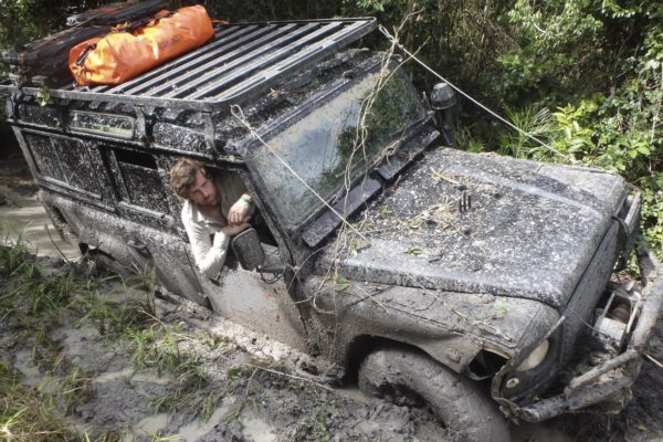
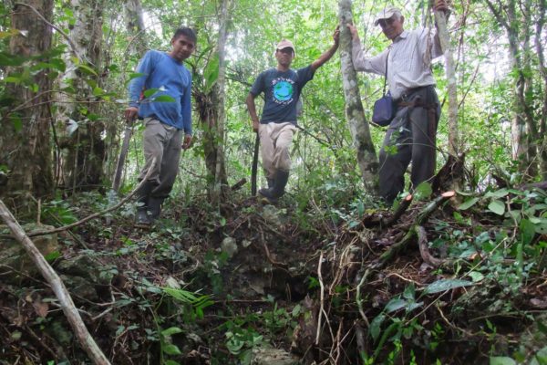
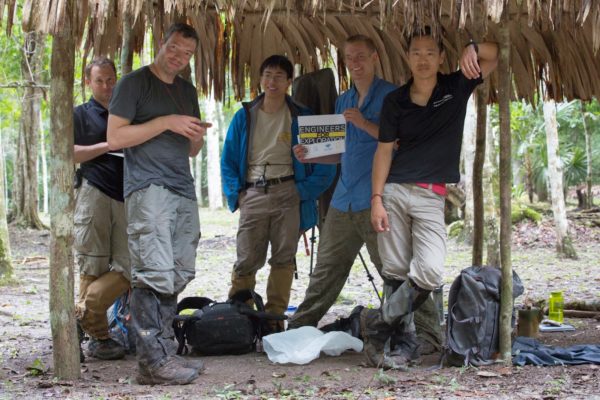
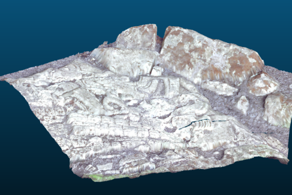
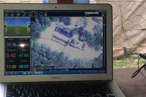
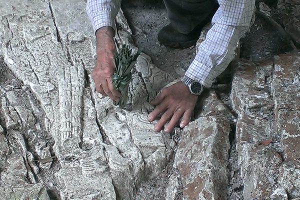
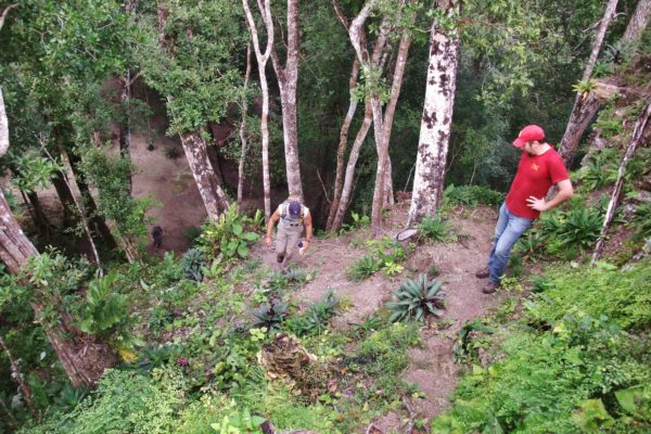
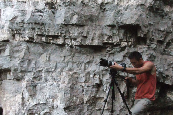
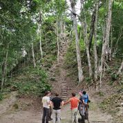
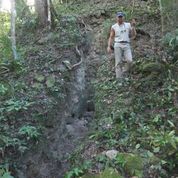
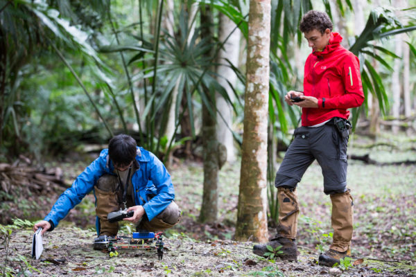
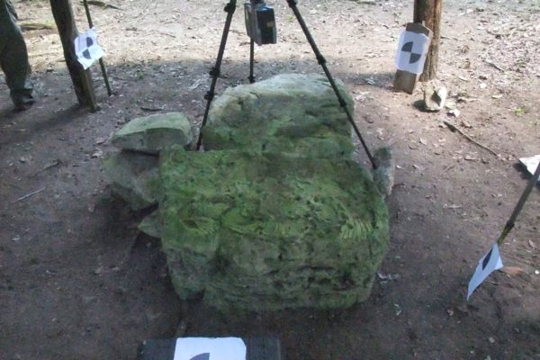
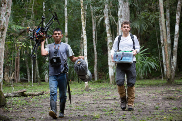
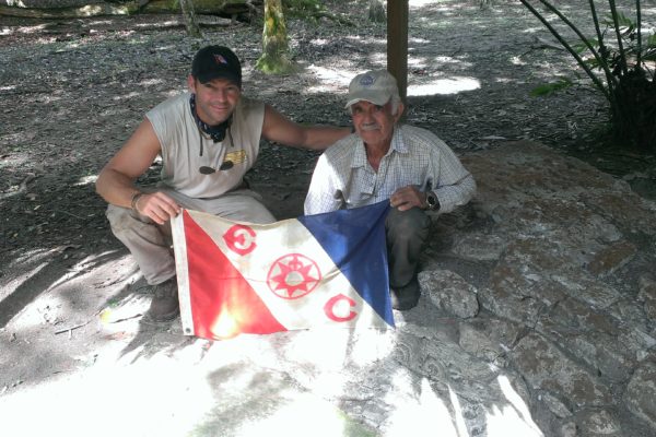
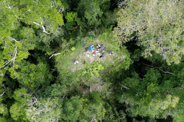
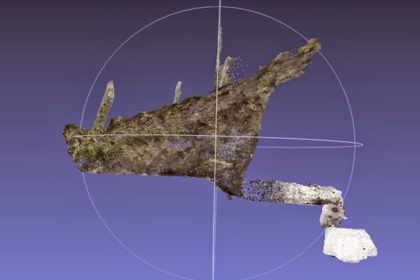
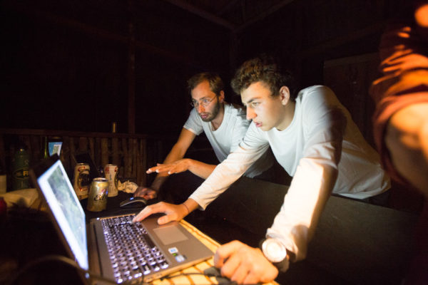
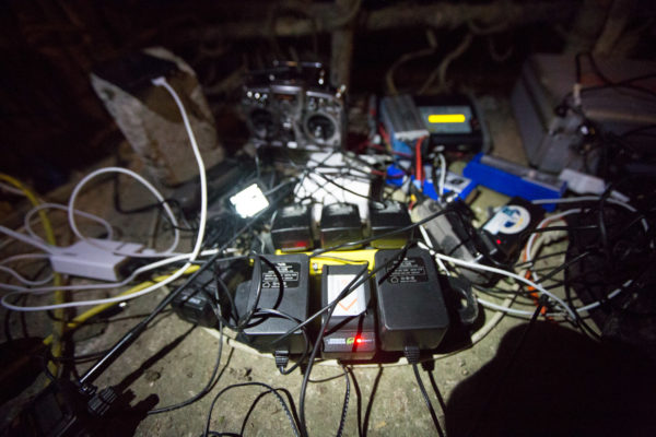
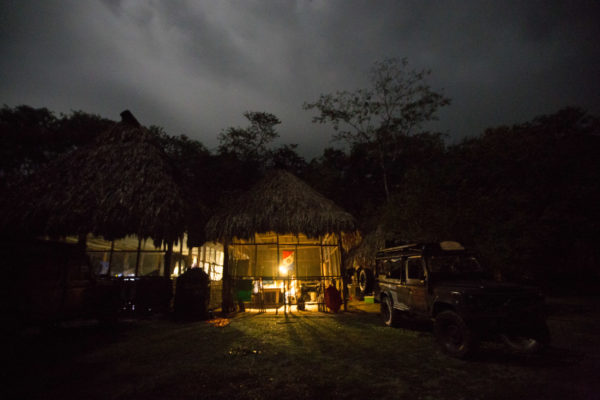
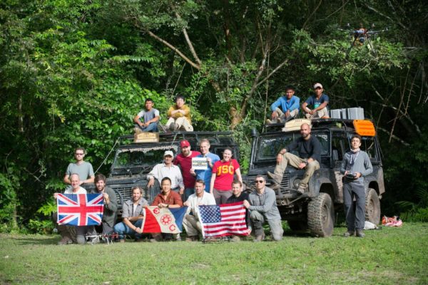
The 2014 Petén Archaeological Expedition (PAE), was composed of a multidisciplinary team of 23 scientists, engineers, archaeologists, journalists, EC Members, and support staff. Over the course of the 400 kms expedition, our team field tested a number of remote sensing technologies in the dense jungle of Guatemala.
Project Goal
Validate the efficacy and robustness of both sensor and UAV platforms prototypes in order to justify a grant proposal request for a more extensive UAV based LiDAR sensor platform.
Project Summary
LIDAR remote sensing technologies enable archaeologist to rapidly identify and precisely map archaeological sites. Currently this technology remains prohibitively expensive to deploy for most field research projects.
The purpose of the Maya Archaeology Project, is to complete the development and field testing of an unmanned Aerial Vehicle based LIDAR prototype in the intense jungle environment of Guatemala. Our aim is to act as the catalyst which puts this exploration enabling technology into reach of archaeologists working in jungle environments anywhere in the world so that they can explore, identify and record our declining inventory of undocumented cultural heritage sites before these precious cultural resources are lost forever. Our team, which includes National Geographic Emerging Explorer Dr. Albert Lin, Professor Ryan Kastner and research scientists and engineers from UCSD and USC Archaeologist Dr. Thomas Garrison, believes that we have a revolutionary solution to the problem of how to make this technology available to researchers in the field.

